中国海岸带盐沼数据集
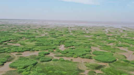
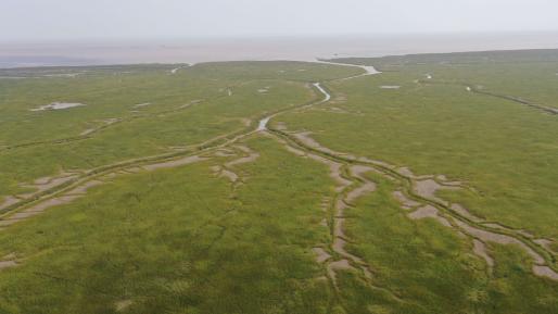
该数据集产品基于专家知识的自动分类决策树算法,完成了覆盖中国大陆沿海的10m分辨率盐沼植被解译,包含芦苇、碱蓬、海三棱藨草、互花米草等四种盐沼植被。 该产品基于全年长时序的Sentinel-…
中国海岸带养殖塘数据集
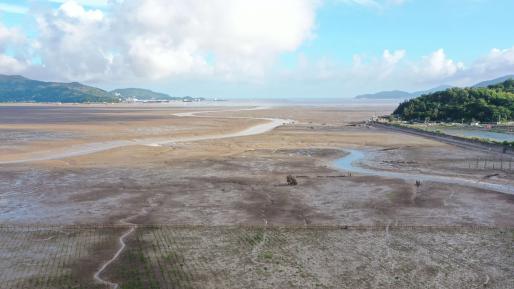
该数据集产品是利用云计算平台构建养殖池塘自动提取决策树模型,批量完成中国海岸带地区过去30年间9个时期的Landsat数据处理,最终获取中国滨海养殖池塘长时序、高精度的专题信息地图产品。…
中国河口岸滩演变数据集
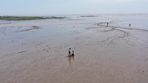
该数据集产品利用云计算平台研制多源遥感数据潮滩自动提取算法,该算法包括包括三个步骤:(1)水体频次计算。利用水体指数与阈值方法自动分割水陆,计算影像栈中单个像元表现为水像元的频率;(2)多源结果合成…
全球三角洲河网数据集
该数据集产品基于河网数据提取算法框架完成了全球35个三角洲河网的提取、分析与整合入库。主要利用自研的分析挖掘工具实现河流水体自动提取;河流边界确定;水文参量构建、赋值等功能。…
中国海岸带围垦数据集
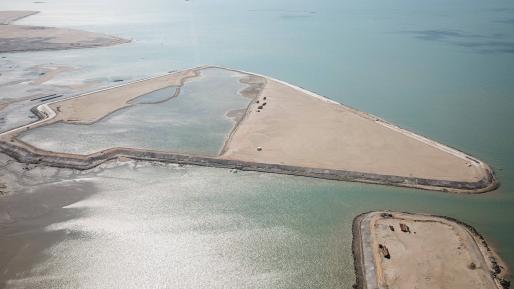
该数据集产品基于1985-2010年时间间隔5年的Landsat影像,结合遥感影像解译与空间分析,生产了中国海岸带区域围垦状态与变化数据。 该产品收集1985-2010年Landsat系列原始数据…
全球海上风电数据集
该数据集产品基于时序像素动态阈值法完成了中国海岸带风电站点的自动提取,构建历史分析等功能。 该产品收集全年时序sentinel-1合成孔径雷达(SAR)原始数据,利云计算平台,…
中国海岸线数据集
该数据集产品是基于1985-2020年时间间隔5年的30m分辨率Landsat多光谱卫星和10m分辨率的Sentinel-2多光谱卫星获得的长时间序列中国海岸带岸线数据集。…
长江河口潮滩监视成像系统数据集
长江口岸滩实时视频观测数据,涵盖约2公里的海岸带区域,以小时间隔采集的实时图像数据。  

About

The estuary and coastal scientific data sharing service sub-center is based on the marine scientific data collection standard specification of the main center, establishes a complete sub-center estuary and coastal data collection and update mechanism, and builds a sub-center marine scientific data subordinate to the national marine scientific data sharing service platform The sharing system provides comprehensive and authoritative marine data services for national marine workers and the public.