跳转到主要内容
潮滩
数据类目
关键词
潮滩,中国
数据文件
数据描述

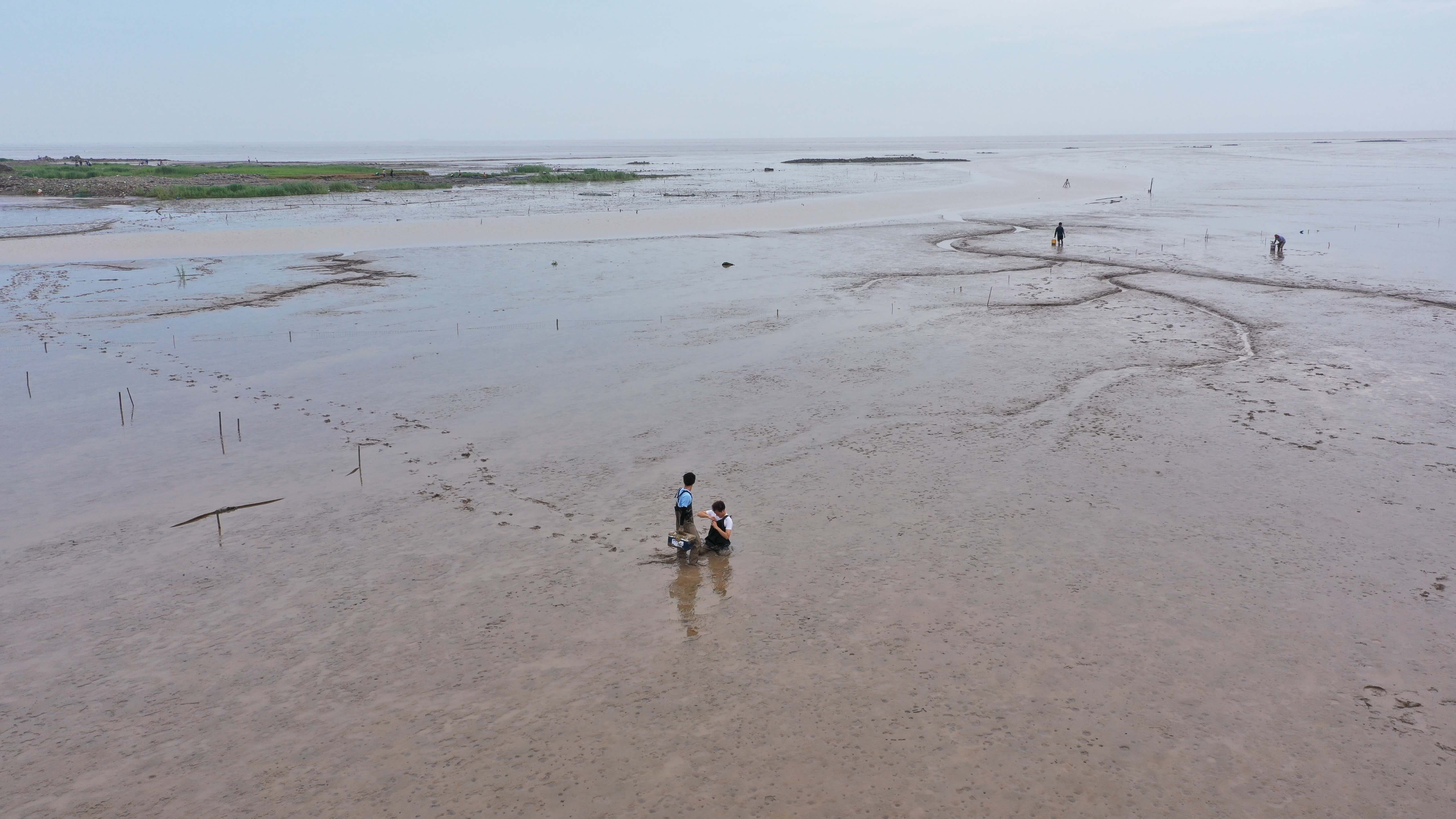
该数据集产品利用云计算平台研制多源遥感数据潮滩自动提取算法,该算法包括包括三个步骤:(1)水体频次计算。利用水体指数与阈值方法自动分割水陆,计算影像栈中单个像元表现为水像元的频率;(2)多源结果合成。基于多源遥感水体频次结果,合成水体频次图;(3)潮滩区域确定。基于SRTM数据,掩膜潮滩上界,保留潮滩潜在区域;给定水体频率阈值,确定不同水频率下的潮滩区域。该算法整合了多源遥感数据,能够很好的克服潮位变化所带来的测图不确定性。

该产品是按年度收集了Sentinel-1 SAR,Sentinel-2以及Landsat-8等多源多时相影像数据,通过云计算进行大数据分析处理,从而得到中国三大河口(长江口、珠江口以及黄河口)的年度潮滩数据。基于自研的河口潮滩提取工具完成了中国三大河口潮滩的提取、分析与整合入库。利用研制的河口潮滩提取工具,有望解决大尺度潮滩高程测图的困难,目前正撰写相关SCI论文。该产品可运用于分析、模拟河口潮滩演变,为应对未来海平面上升可能带来的海岸威胁预制策略,并可应用于潮滩资源可持续管理中。


数据引用
coastaldata.einsh.com

About

The estuary and coastal scientific data sharing service sub-center is based on the marine scientific data collection standard specification of the main center, establishes a complete sub-center estuary and coastal data collection and update mechanism, and builds a sub-center marine scientific data subordinate to the national marine scientific data sharing service platform The sharing system provides comprehensive and authoritative marine data services for national marine workers and the public.