跳转到主要内容
养殖塘
数据类目
关键词
养殖,中国
数据文件
数据描述

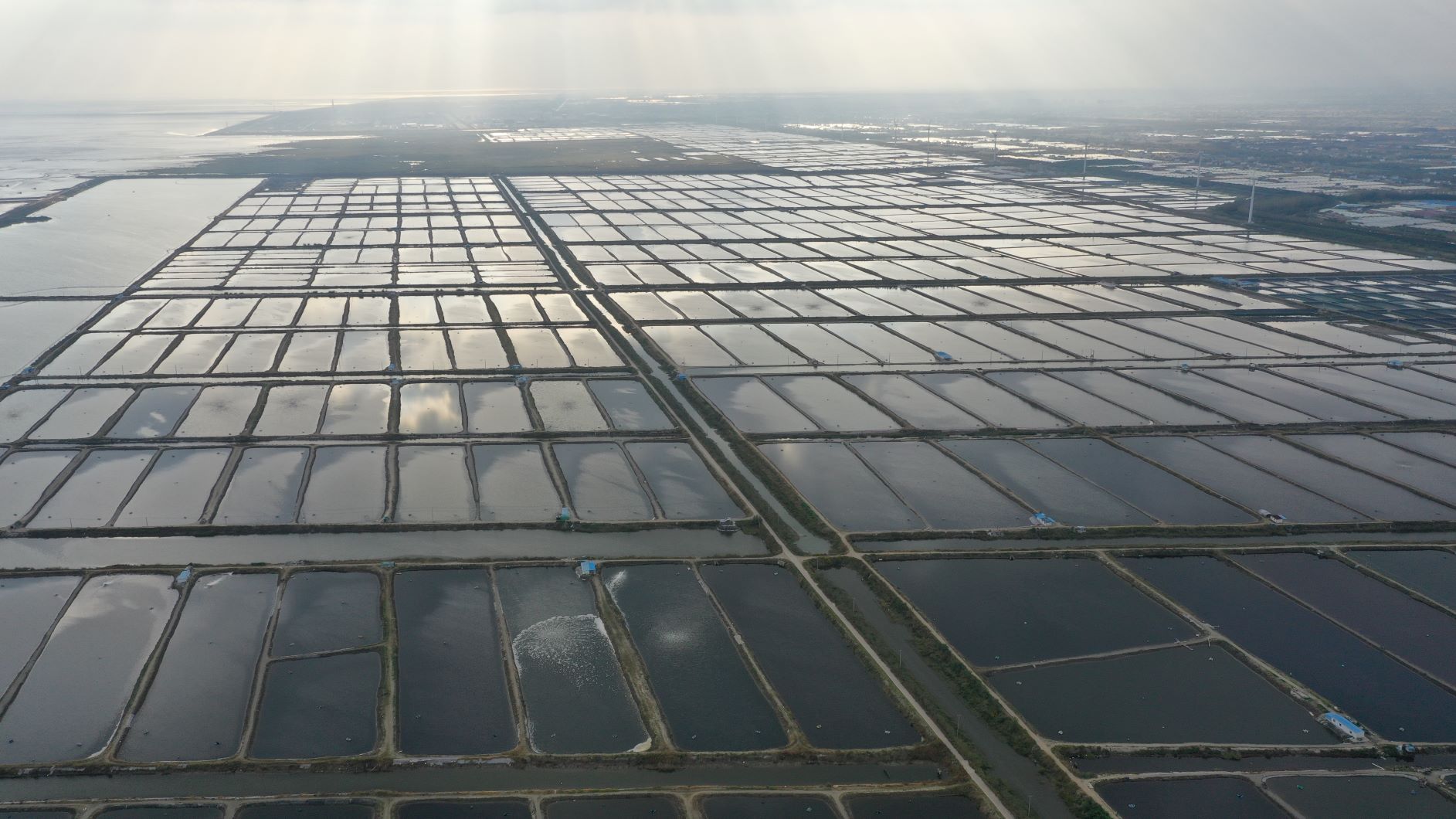
该数据集产品是利用云计算平台构建养殖池塘自动提取决策树模型,批量完成中国海岸带地区过去30年间9个时期的Landsat数据处理,最终获取中国滨海养殖池塘长时序、高精度的专题信息地图产品。

该产品充分挖掘滨海养殖池在空间特征、遥感光谱信息以及时序特征,解决了滨海养殖池由于水体和堤坝交织,利用遥感影像自动提取十分困难的问题。算法包括遥感图像特征增强、图形形态学处理、遥感图像图谱特征融合等关键技术。数据产品覆盖整个中国海岸带地区并呈现过去30年的时空变化,在一定程度上解决了现有数据集根据湿地或土地利用分类标准对养殖池定义不统一的问题。

该数据集产品利用高效养殖塘自动提取算法,具备数据更新快、普适性良好的优势,可作为产业管理和生态效应评估的基础数据,具有较大的社会服务潜在应用价值。利用时空分析整合得到的中国滨海地带养殖池塘的专题数据可弥补了现有数据集的一些不足,从而作为产业管理和生态效应评估的基础数据。


About

The estuary and coastal scientific data sharing service sub-center is based on the marine scientific data collection standard specification of the main center, establishes a complete sub-center estuary and coastal data collection and update mechanism, and builds a sub-center marine scientific data subordinate to the national marine scientific data sharing service platform The sharing system provides comprehensive and authoritative marine data services for national marine workers and the public.