跳转到主要内容
海岸线
数据类目
关键词
岸线,中国
数据文件
数据描述

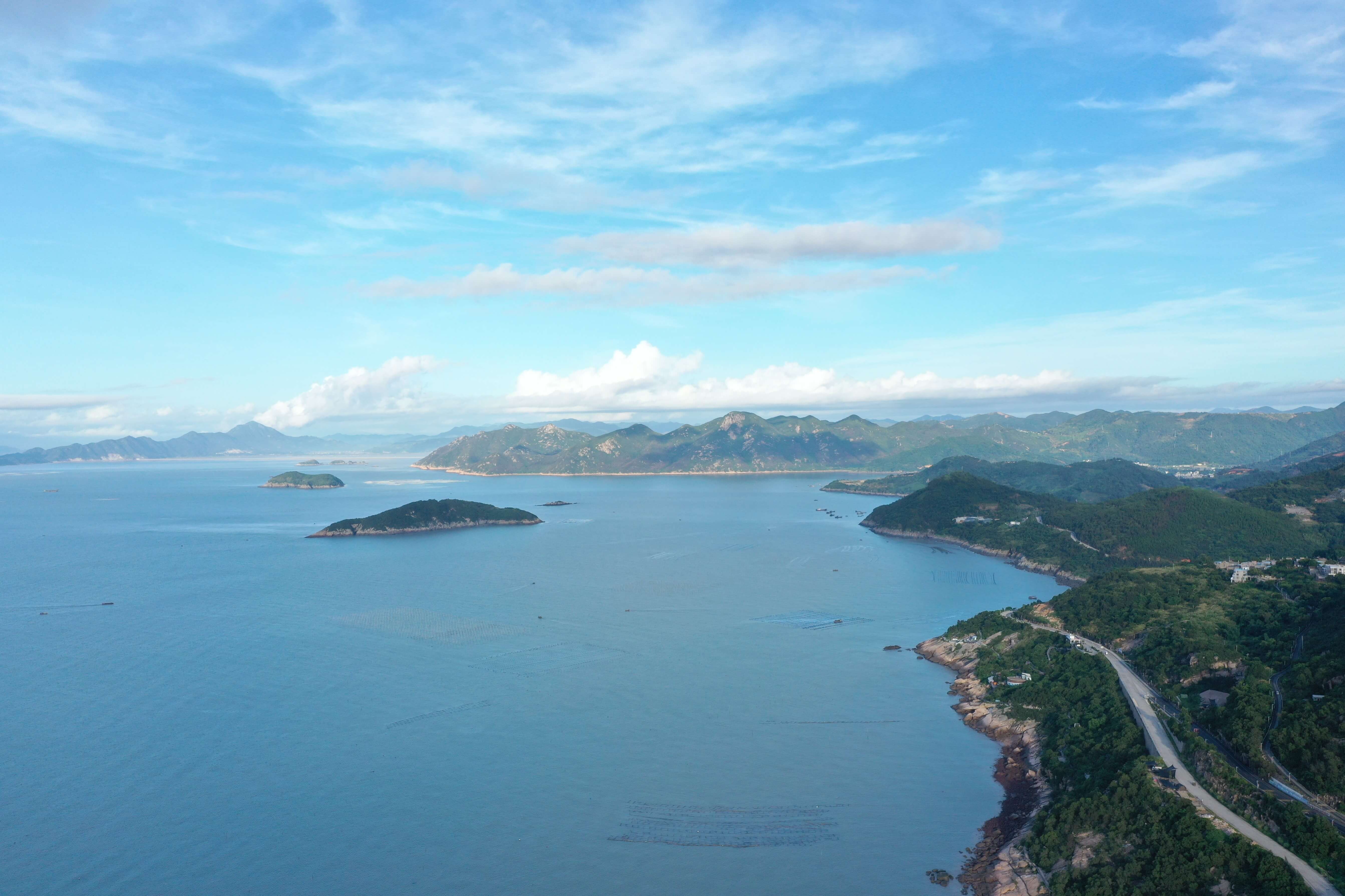
该数据集产品是基于1985-2020年时间间隔5年的30m分辨率Landsat多光谱卫星和10m分辨率的Sentinel-2多光谱卫星获得的长时间序列中国海岸带岸线数据集。

该产品主要采用人机交互的目视解译方法,对中国海岸带现有的年度岸线数据进行生产,所有数据都利用高分卫星数据进行了产品质量检查。根据卫星数据集的分辨率情况,2015年及以前的数据空间分辨率为30m,2020年起数据分辨率上升至了10m。

该数据集产品覆盖中国大陆沿海各省份,为目前国内外较新的高分辨率岸线数据,也是目前长时序、高分辨率、覆盖面广的岸线数据产品之一。

About

The estuary and coastal scientific data sharing service sub-center is based on the marine scientific data collection standard specification of the main center, establishes a complete sub-center estuary and coastal data collection and update mechanism, and builds a sub-center marine scientific data subordinate to the national marine scientific data sharing service platform The sharing system provides comprehensive and authoritative marine data services for national marine workers and the public.