跳转到主要内容
围垦
数据类目
关键词
围垦,中国
数据文件
数据描述

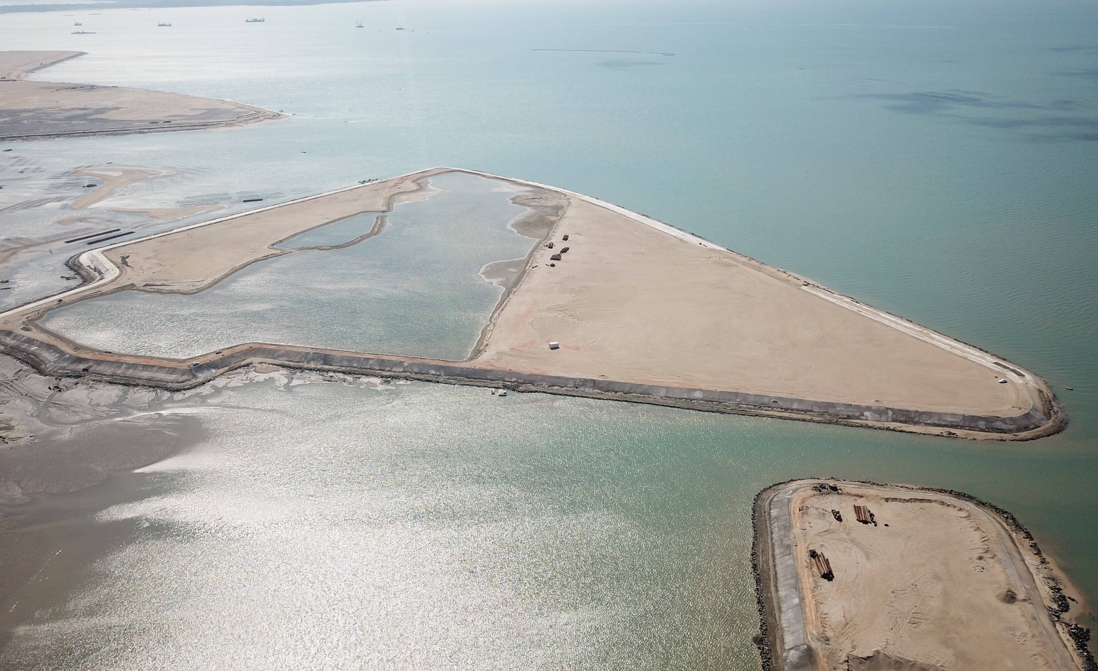
该数据集产品基于1985-2010年时间间隔5年的Landsat影像,结合遥感影像解译与空间分析,生产了中国海岸带区域围垦状态与变化数据。

该产品收集1985-2010年Landsat系列原始数据,利用遥感与GIS软件,对原始数据进行影像预处理工作,采用CRI(Coastal Reclamation Intensity)作为某一特定年份的围垦密度指数,并结合人口,经济,城市化数据对海岸带围垦进行驱动分析。

该数据集产品实现了对中国海岸带围垦区域的提取,有利于长期以生态系统为基础的沿海保护和管理,对支持中国未来的可持续沿海生态系统至关重要。

About

The estuary and coastal scientific data sharing service sub-center is based on the marine scientific data collection standard specification of the main center, establishes a complete sub-center estuary and coastal data collection and update mechanism, and builds a sub-center marine scientific data subordinate to the national marine scientific data sharing service platform The sharing system provides comprehensive and authoritative marine data services for national marine workers and the public.