跳转到主要内容
河道网络
数据类目
关键词
河网,全球
数据文件
数据描述

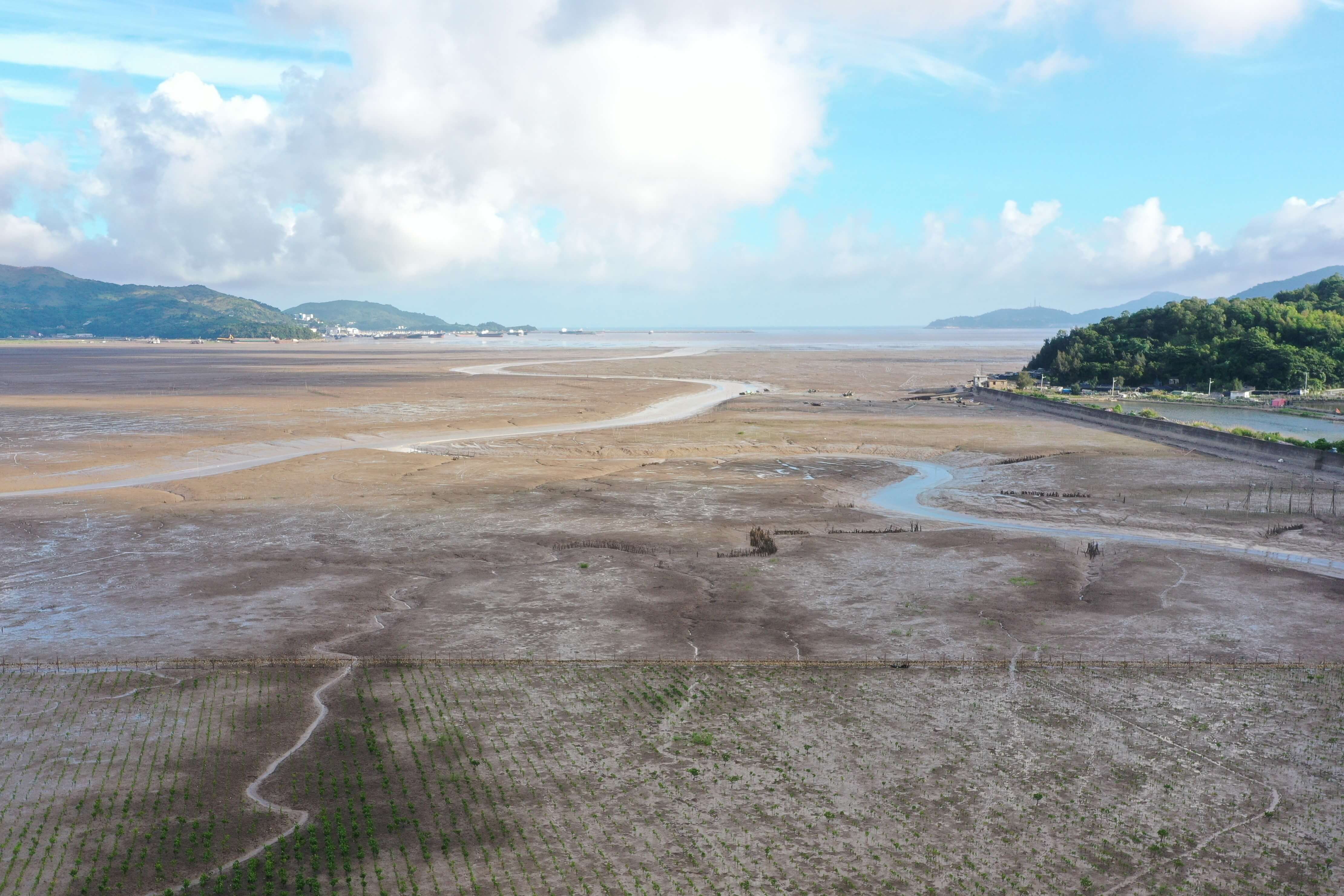
该数据集产品基于河网数据提取算法框架完成了全球35个三角洲河网的提取、分析与整合入库。主要利用自研的分析挖掘工具实现河流水体自动提取;河流边界确定;水文参量构建、赋值等功能。

该产品按年度收集Sentinel-1 SAR的多时相影像数据,通过云计算进行大数据分析处理得到全球的河口三角洲河网数据。同时,通过对SRTM高程数据进行大数据分析处理,提取了流向、流域等关键水文参量,并将这些水文属性整合到的河网分析数据中。形成的数据产品空间分辨率达到10m,河网水文属性包括流向、河流阶数、 宽度、长度、弯曲度、坡度、水文联通性。

该数据集产品与目前国际上使用较多的河网数据集相比,在实效性、空间分辨率以及水文属性量化上皆有提升。该产品可运用于分析三角洲河网演变、模拟河口三角洲的物质交换、模拟与预测不同河段流量以及防洪建设中。


About

The estuary and coastal scientific data sharing service sub-center is based on the marine scientific data collection standard specification of the main center, establishes a complete sub-center estuary and coastal data collection and update mechanism, and builds a sub-center marine scientific data subordinate to the national marine scientific data sharing service platform The sharing system provides comprehensive and authoritative marine data services for national marine workers and the public.