跳转到主要内容
盐沼
数据类目
关键词
盐沼植被,中国
数据文件
数据描述

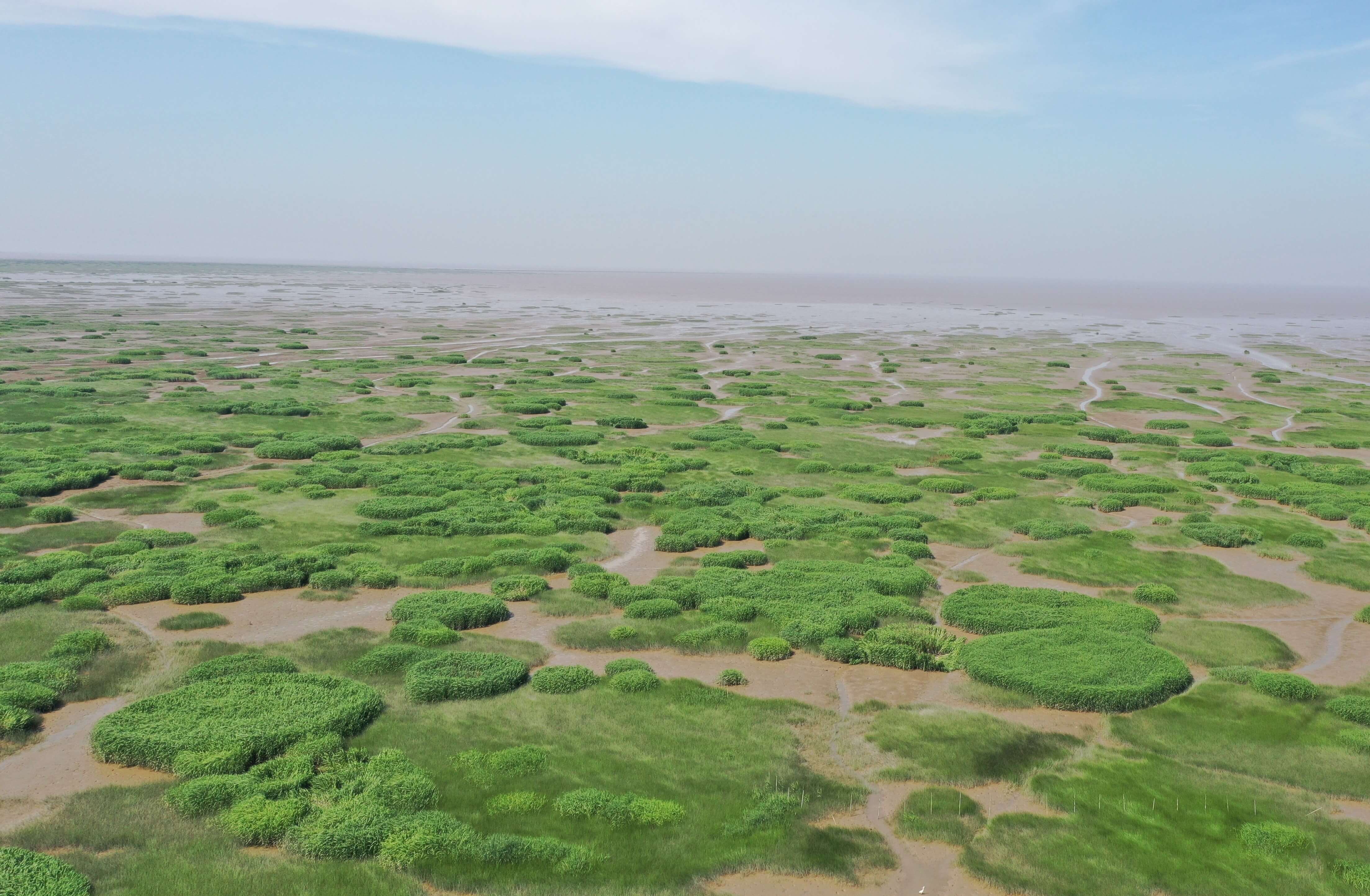
该数据集产品基于专家知识的自动分类决策树算法,完成了覆盖中国大陆沿海的10m分辨率盐沼植被解译,包含芦苇、碱蓬、海三棱藨草、互花米草等四种盐沼植被。

该产品基于全年长时序的Sentinel-1合成孔径雷达数据集,根据环境气候因素对中国海岸带进行区划划分,通过大量实测样本和高分辨率提取样本数据集,利用大数据和云计算研制中国海岸带地区盐沼植被自动分类算法,形成了10m分辨率的高精度盐沼植被数据集。

该数据集产品是目前较新的、经过同行评议的、覆盖面广、空间分辨率较高的,对国内外开放共享的中国海岸带盐沼植被数据产品,相关科研文章已经过同行评议并在领域内国际顶级期刊发表。


数据引用
coastaldata.einsh.com

About

The estuary and coastal scientific data sharing service sub-center is based on the marine scientific data collection standard specification of the main center, establishes a complete sub-center estuary and coastal data collection and update mechanism, and builds a sub-center marine scientific data subordinate to the national marine scientific data sharing service platform The sharing system provides comprehensive and authoritative marine data services for national marine workers and the public.